Edge of BIM – Explore the Coast of Barbados Like Never Before
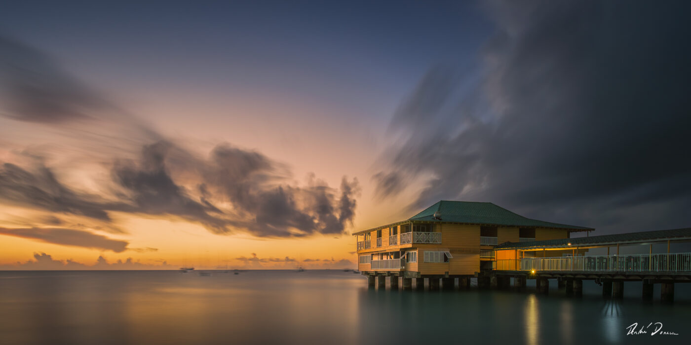
Edge of BIM is more than a map of beautiful coastal locations. It’s a personal guide to exploring the places that inspired the photographs in the book Edge of BIM by André Donawa. The app brings the shoreline to life, helping you plan real moments in the same spaces where the images were captured.
As André says:
“As much as I love the beauty and emotion that I’m able to capture with my camera, there is something special about being at these locations experiencing those moments first hand.”
This app is built to help you do exactly that.
Discover the Coast for Yourself
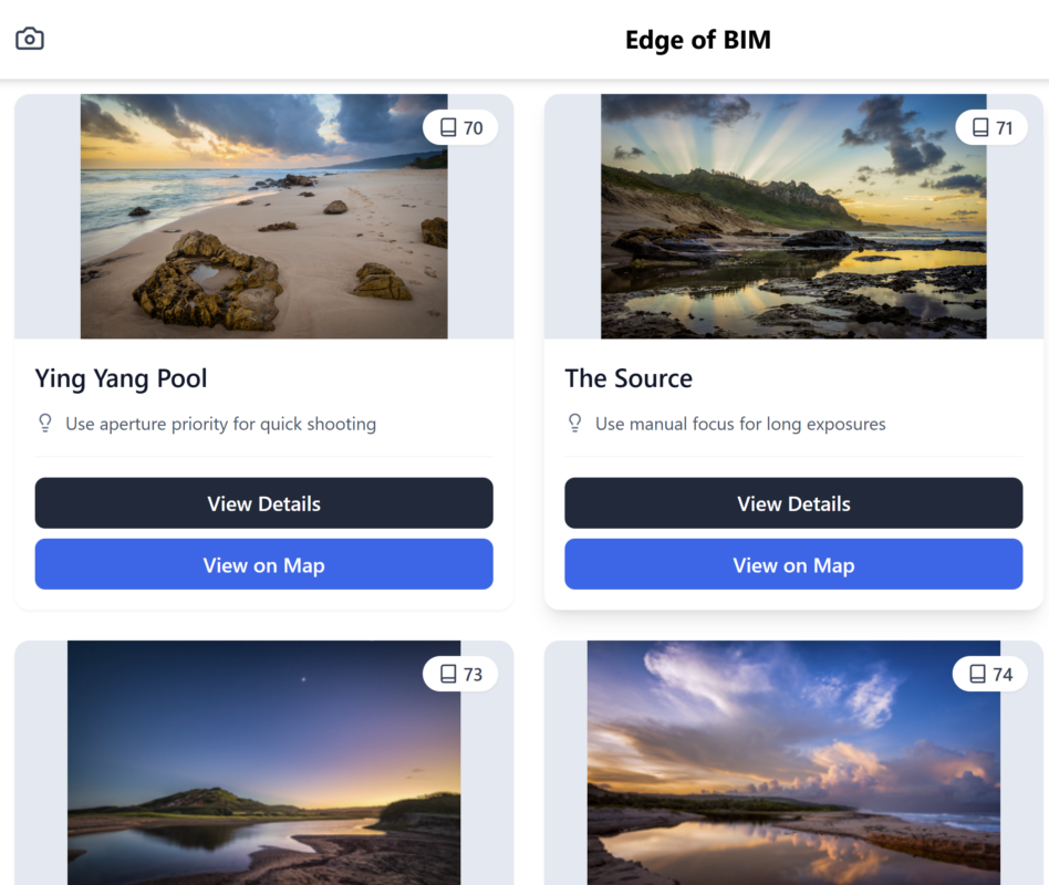
Instead of just reading about the locations, you can:
-
Browse a curated list of real shooting spots featured in the book
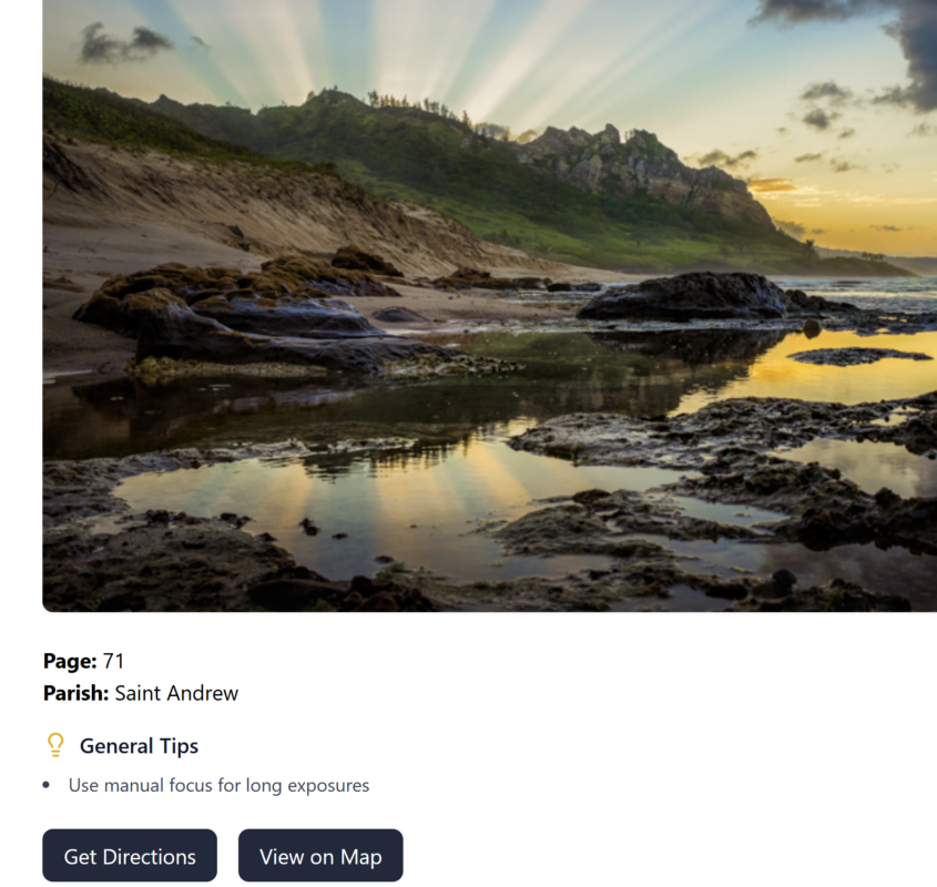
-
See detailed notes, page references, and insights from the photography sessions
-
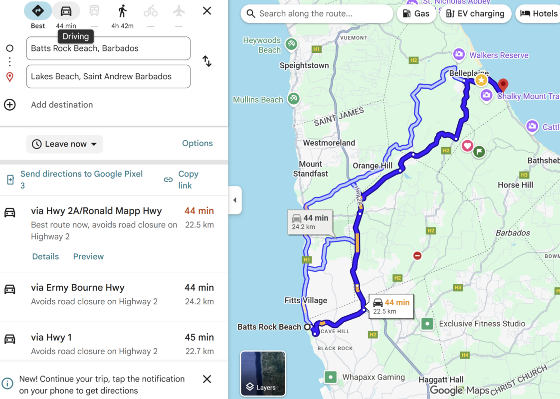
View exact coastal positions plotted on an interactive map
-
Open locations on your device and go explore them in person
Whether you’re a photographer looking for the perfect shot, a visitor discovering Barbados, or someone who simply loves the coastline, the app gives you the freedom to experience these locations just as they were seen through the lens.
Made for Photographers, Explorers & Appreciators of the Coast
Edge of BIM balances artistic inspiration with practical navigation. The information is designed to help you:
-
Know where to go
-
Understand what makes each location special
-
Arrive prepared for lighting and conditions
-
Make the most of each outing
See It. Feel It. Capture It.
Edge of BIM is an invitation to step out into the salt, wind, and light—to explore the coastline in person and create your own images, memories, and moments.